
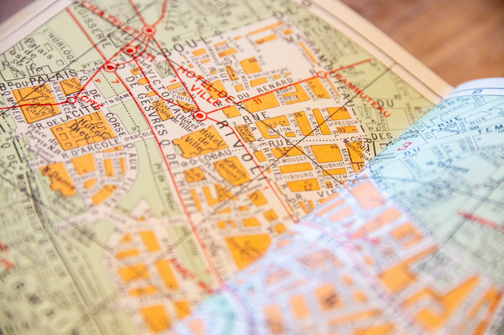
According to GPS.gov, a GPS-enabled smartphone is typically accurate to within 4.9 metres (16 feet) under open sky. Most of the places people meet up are not under open sky. They're on streets lined with tall buildings, inside stations and shopping centres, under trees or in a car park. In those places the dot on a shared map can be off by tens of metres, jump to the other side of the street, or stop moving altogether.
When a phone location jumps around, there's usually a specific cause, and once you know which one you're looking at, the map gets much easier to read.
Why phone location jumps around
A phone doesn't rely on GPS alone. Apple describes Location Services as using GPS and Bluetooth where available, plus a crowd-sourced database of Wi-Fi hotspots and mobile phone masts with known positions. Android works the same way. The phone combines whatever it can get.
Each source has its own accuracy. GPS is the best outdoors with a clear view of the sky, though it can take a while to find all the satellites it can see, and the position gets more accurate over that time. Wi-Fi positioning works indoors and in cities, but it's rougher, often tens of metres out. Phone masts give the roughest position of all, sometimes hundreds of metres out, and that's what you get when nothing else is available.
Almost every time a location dot jumps, the phone has switched from one of these sources to another, or is using a rougher one than usual.
The dot is on the wrong side of the street
This happens in city centres. Tall buildings block most of the sky, so the phone sees fewer satellites, and the signals it does get often bounce off glass and concrete before arriving. A reflected signal travels a longer path, so the phone calculates a position that's off to one side. Engineers call streets like this "urban canyons".
Newer phones handle this better. The iPhone 14 Pro was the first iPhone with dual-frequency GPS, which uses the newer L5 signal alongside the older L1. Having two signals makes it easier for the phone to spot and ignore the reflections. Many recent Android phones have it too. It helps a lot, but even the best phone can still put you on the wrong side of a busy street.
When you're looking for someone, watch which way their trail is moving instead of where the dot is right now. A trail heading down the right street tells you more than a single point that's 20 metres off.
The dot is inside a building, or in a river
Indoors, the phone usually can't see any satellites, so it falls back on Wi-Fi. That's often good enough to put someone in the right station or shopping centre, but not on the right floor or at the right exit. A dot in the middle of a building usually means "somewhere in here".
A dot in a river, a park or the middle of a block (in Apple Maps or Google Maps, often with a big blue circle around it) usually means the phone only has mast positioning. That can happen on a train, in a basement or right after the phone is switched on. It normally sorts itself out within a minute of getting outside.
This is why OnTime has the "I'm here" button. When someone arrives at a stop, they tap it, and everyone knows they've arrived, even if their dot is drifting around a building across the road.
The dot jumps across town and back
Sometimes a location dot jumps hundreds of metres in one go, then snaps back a few seconds later. This usually happens when GPS drops out for a moment: someone walks into a station, gets into a car or goes through a short tunnel. For those few seconds the phone reports a Wi-Fi or mast position instead, which can be a long way off, then returns to GPS once it can see the sky again.
Wi-Fi positioning can also be wrong in a more stubborn way. The database records where each hotspot was seen. If a router has moved, say to a new flat or onto a bus as a mobile hotspot, a phone near it can be placed where the router used to be. The dot will look confident and still be in the wrong place until GPS takes over.
A single jump that comes back on its own is noise. Look at where the trail was before the jump and where it carries on after it.
The dot hasn't moved for ten minutes
A frozen dot has a different set of causes:
-
No data. The phone may know exactly where it is, but without mobile data or Wi-Fi it can't send that to anyone. Everyone else sees the last position that got through. This happens on underground trains, in basements and in the countryside.
-
Battery saving. Apps that share live location, including ours, don't keep GPS running at full power the whole time, because that would drain the battery fast. When someone is standing still, their position may update less often than when they're walking.
-
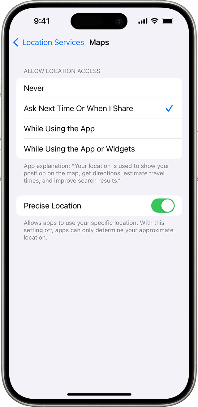
Approximate location. Both iOS and Android let people share an approximate location instead of a precise one. On Android, approximate location is accurate to about 3 square kilometres. On iPhone, it's the Precise Location switch in the app's location settings. If it's off, the dot won't move as the person walks down the street, because it only shows a rough area. If a friend's dot seems stuck in the middle of a neighbourhood, check this first.
A trail helps tell these apart. If the trail stops at a station entrance, they're probably underground. If it stops mid-street and they haven't answered a message, call them.
How much to trust the map
A shared location map is good at telling you roughly where someone is, which way they're going and whether they're getting closer. It's less good at the last 20 metres, especially in a city or indoors. For that part, a phone call or a named meeting point still works better than staring at a dot.