
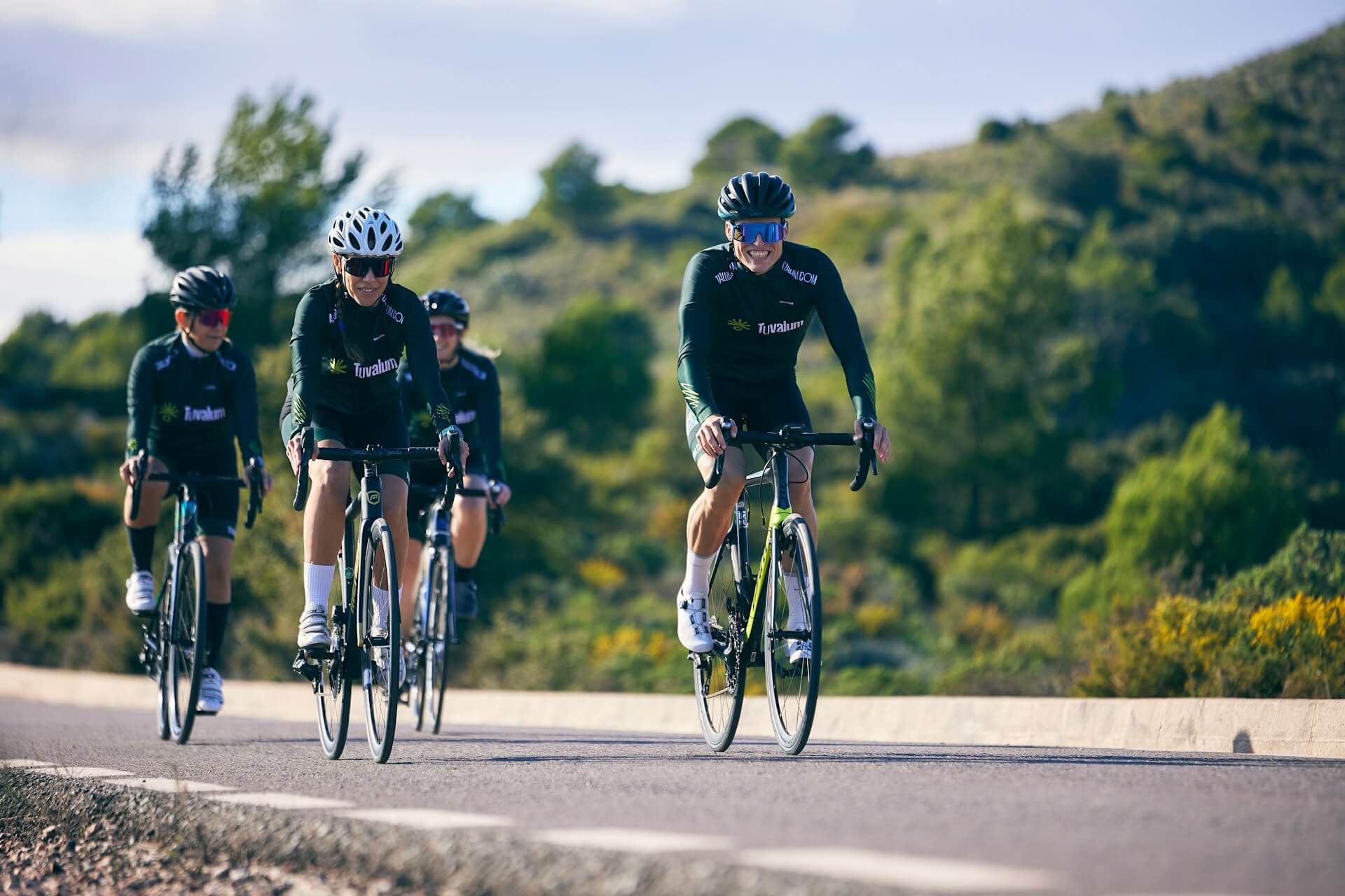
A group ride tracking app puts every rider on one map, so the front of the group can see where the back is without stopping to wait. It works best on top of a much older system. Motorcycle clubs worked out years ago how to take a group of riders along a route with dozens of turns without anyone getting lost or anyone having to wait at every one. It's called the drop-off system, or corner marking, and it suits a mixed-pace no-drop bike ride just as well.
Below is how corner marking works, followed by how the main tracking options (Garmin GroupRide, Strava Beacon, WhatsApp, Google Maps, Find My and OnTime) compare when a rider gets dropped anyway.
Corner marking on a no-drop ride
Only two riders keep fixed positions: the leader, who knows the route, at the front, and a sweep at the very back. At every turn, the rider directly behind the leader stops just past the junction, somewhere safe and visible, and points the way. Everyone else rides past them. When the sweep arrives, the marker rejoins the group in front of the sweep, and the next rider behind the leader marks the next turn.
The Phoenix Motorcycle Training guide to the system adds a couple of rules that matter just as much on a bike. Mark a roundabout on the exit you're taking, not on the way in. And a marker who has rejoined at the back stays there, working their way forward only as other riders drop off to mark later turns. Racing back up through the group to get to the front again is how crashes happen.
The nice thing is that nobody has to wait long. Each marker waits only until the sweep comes past, and the leader never stops. The group can be spread over a kilometre of road and still nobody takes the wrong turn, because there's a person at every junction pointing the way.
It works best for groups of six or more on a route the leader knows. With three or four friends, it's easier to agree to wait at the top of every climb and at any junction where someone could take the wrong road. Most no-drop club rides do this anyway.
When someone gets dropped anyway
Corner marking depends on the sweep. If the sweep stops for a puncture and nobody notices, the markers at the next few junctions wait for a rider who isn't coming, and the group stalls without knowing why. A chain coming off on a descent or a rider who needs a longer break can do the same.
A live map of the group fixes most of this, and there are several ways to get one. They differ in who can see whose location and what each rider needs to carry.
Group ride tracking apps compared
1. Garmin GroupTrack
If everyone in your group rides with a recent Garmin, you may not need a phone app at all. GroupTrack (called GroupRide on newer Edge models) shows the other riders on your bike computer's map, as long as everyone is connected to each other in Garmin Connect and within 40 km. You see the group without touching your phone. The catch is that it only works between Garmin devices, and most weekend groups include someone on a Wahoo, a watch, or nothing at all.
2. Strava Beacon
Beacon sends a link to up to three safety contacts, who can follow you on a map in real time and see your phone's battery level. It's free when you record on the Strava phone app; starting it from a bike computer or watch needs a subscription. Beacon is designed for someone at home keeping an eye on one rider, so it suits a solo ride better than a group. Riders in the group don't see each other on a shared map, and three contacts doesn't cover a club run.
3. Messaging and map apps
WhatsApp can share live location in the group chat for 15 minutes, an hour or eight hours. Google Maps location sharing works on both iPhone and Android, and Apple's Find My works between iPhones. Most riders already have at least one of these, which makes them easy to start with. They show where people are, though nothing about the route or where the group plans to stop, and in WhatsApp each rider has to start sharing on their own.
4. OnTime
This is the app we make, so read this part with that in mind. The ride leader creates a Radar before the ride and adds the regroup points as stops: the top of the main climb, the café, the finish. Everyone joins the Radar in the car park before you roll out, and each rider shows up as a dot on the same map, with the stops marked.
At the next regroup point, the leader can check the map instead of waiting blind. If the sweep's dot is moving and three kilometres back, everyone knows roughly how long the wait is. If it hasn't moved in ten minutes, the trail shows where they stopped, and someone can ride back or call. The first rider into the café taps "I'm here" so the rest know to come straight in rather than wait at the last junction. On an iPhone, OnTime's Live Activity shows the distance to the next stop on the Lock Screen. OnTime runs on phones only, so it won't appear on a bike computer, and like every option here it needs mobile signal to update.
A phone app also covers the parts of the day that aren't on the bike: the drive to the start, finding each other in the car park, and getting everyone to the pub after.
Whichever group ride tracking app you use, don't look at the phone while you're riding. Check it at the regroup points and when you stop to mark a corner. And do the basics first: agree the route and the regroup points before you start, make sure the leader and the sweep both have it downloaded, and carry a spare tube even on a short ride.